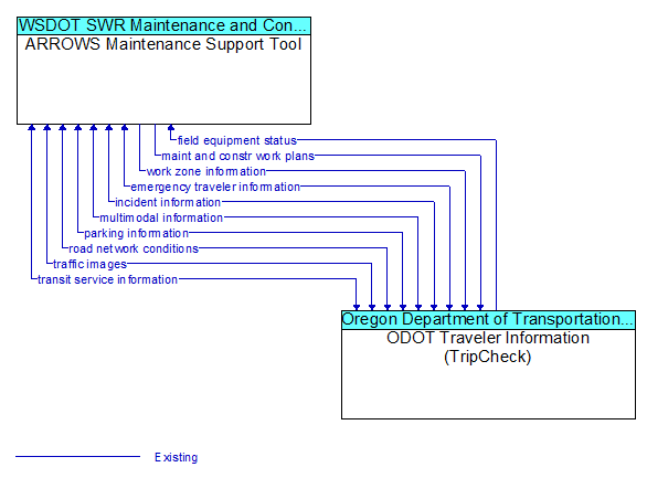
Interface: ARROWS Maintenance Support Tool - ODOT Traveler Information (TripCheck)
Architecture Flow Definitions
emergency traveler information (Existing) Applicable ITS Standards
Public notification of an emergency such as a natural or man-made disaster, civil emergency, or child abduction. This flow also includes evacuation information including evacuation instructions, evacuation zones, recommended evacuation times, tailored evacuation routes and destinations, traffic and road conditions along the evacuation routes, traveler services and shelter information, and reentry times and instructions.
field equipment status (Existing) Applicable ITS Standards
Identification of field equipment requiring repair and known information about the associated faults.
incident information (Existing) Applicable ITS Standards
Notification of existence of incident and expected severity, location, time and nature of incident. As additional information is gathered and the incident evolves, updated incident information is provided. Incidents include any event that impacts transportation system operation ranging from routine incidents (e.g., disabled vehicle at the side of the road) through large-scale natural or human-caused disasters that involve loss of life, injuries, extensive property damage, and multi-jurisdictional response. This also includes special events, closures, and other planned events that may impact the transportation system.
maint and constr work plans (Existing) Applicable ITS Standards
Future construction and maintenance work schedules and activities including anticipated closures with anticipated impact to the roadway, alternate routes, anticipated delays, closure times, and durations.
multimodal information (Existing) Applicable ITS Standards
Schedule information for alternate mode transportation providers such as train, ferry, air and bus.
parking information (Existing) Applicable ITS Standards
General parking information and status, including current parking availability.
road network conditions (Existing) Applicable ITS Standards
Current and forecasted traffic information, road and weather conditions, and other road network status. Either raw data, processed data, or some combination of both may be provided by this architecture flow. Information on diversions and alternate routes, closures, and special traffic restrictions (lane/shoulder use, weight restrictions, width restrictions, HOV requirements) in effect is included along with a definition of the links, nodes, and routes that make up the road network.
traffic images (Existing) Applicable ITS Standards
High fidelity, real-time traffic images suitable for surveillance monitoring by the operator or for use in machine vision applications.
transit service information (Existing) Applicable ITS Standards
Transit service information including routes, schedules, and fare information as well as dynamic transit schedule adherence and transit vehicle location information.
work zone information (Existing) Applicable ITS Standards
Summary of maintenance and construction work zone activities affecting the road network including the nature of the maintenance or construction activity, location, impact to the roadway, expected time(s) and duration of impact, anticipated delays, alternate routes, and suggested speed limits. This information may be augmented with images that provide a visual indication of current work zone status and traffic impacts.